Just the Numbers - $19.99 A simple, no-frills summary. This package provides all of the basic relevant data values averaged over your property and a short write-up, but it doesn't include any graphics or specific details.
Deluxe Details - $49.99 Comes complete with high quality digital graphics (up to 1-meter resolution) and an informative written report containing relevant data values for a comprehensive remotely-sensed analysis of your property.
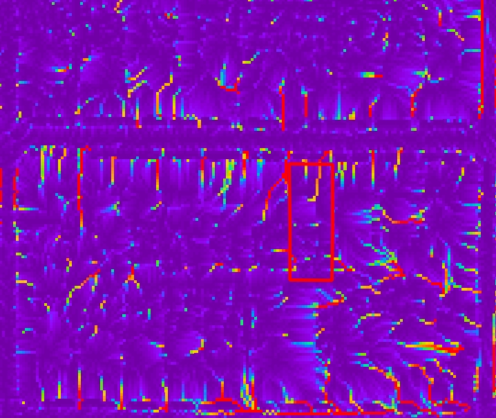
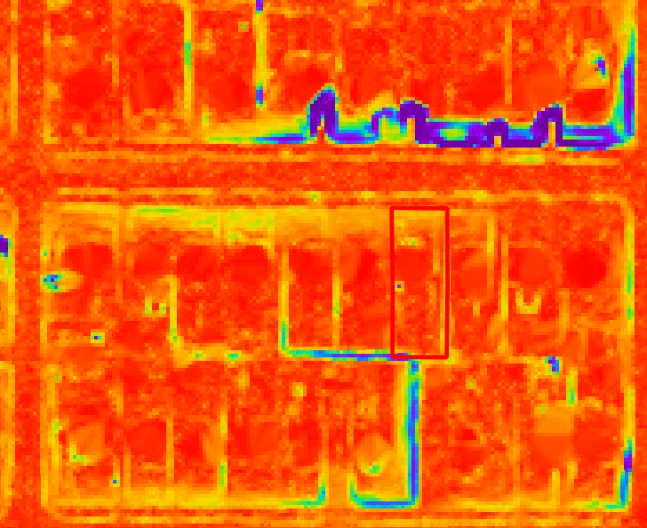
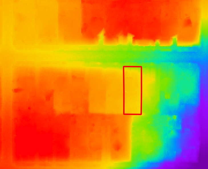
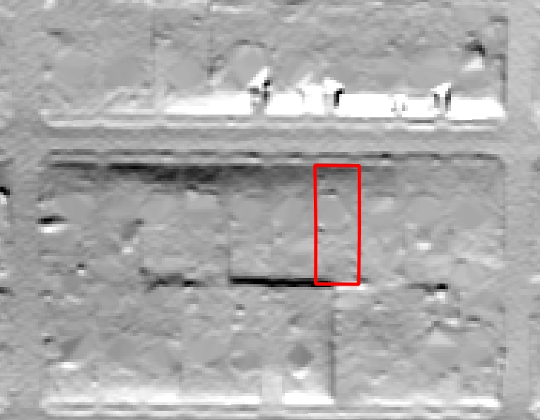
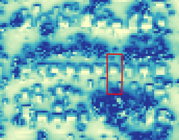
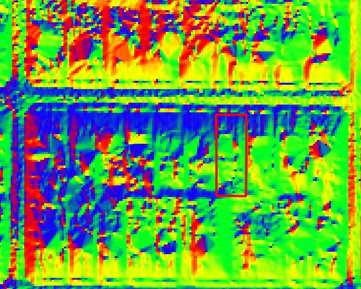
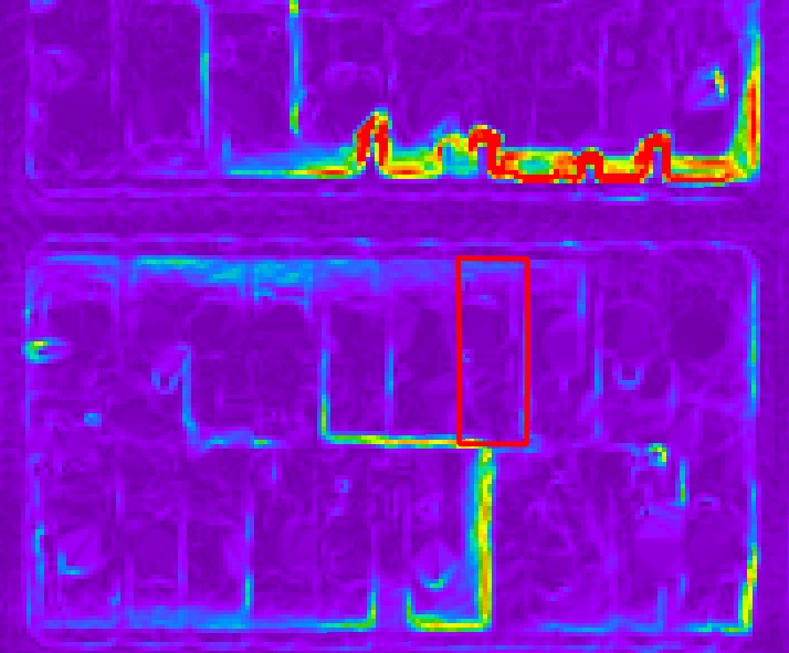
Map datasets include elevation, depth to water, depth to bedrock, slope, aspect, hillshade, wind speed, solar radiation, soil type, bedrock type, geothermal potential (3), aquifer sensitivity, and more!
Ground Truth - $99.99 The Deluxe Details Package, PLUS an on-site walkthrough of your property and reconnaissance investigation to document the "ground" truth of any relevant parameters. This includes looking at soil type and moisture content, water drainage patterns, ground slopes, flood hazards, the locations of solar and wind barriers, vegitation cover, a personalized geothermal assessment, and more!
Soil coring and probing is also available upon request. Collected data will be used to augment and enhance the accuracy of the remotely-sensed data and provide a more complete analysis of your property and situation. Donate If you enjoy this data presentation and you want to support my work but don't want any of the packages, you can make a donation to show your appreciation. Thank you for your contributions!
I am elated to bring my skills in spatial statistics, cartograpghy, earth sciences, and alternative energy to our District 10 Como Neighborhood with GeoPOI LLC! Although I am formally trained with a Master's degree in hydrogeology from Indiana University, I am not yet recognized as a professional geologist by the State of Minnesota and am not able to offer a professional consultation. By purchasing the Deluxe Details or Ground Truth Packages, you understand this limitation and accept that the delivered products are cartographic works and the assessment is for personal use only. Send any questions to g@geopoi.us
Relevant publications and projects:
Gustin, Andrew R., SA, JR, and MS. "Innovative Groundwater-Enhanced Geothermal Heat Pump Study" - (LCCMR-Funded Research Project), University of Minnesota (2015-2016). http://heat.geopoi.us
NS, KME, and Gustin, Andrew R. "Spatiotemporal Variability of Ground Thermal Properties in Glacial Sediments and Implications for Horizontal Ground Heat Exchanger Design." Renewable Energy 81 (2015): 21-30.
Gustin, Andrew R. "The Distribution, Morphology, and Temporal Signature of Rock Glaciers in the Tobacco Root Mountains, Montana." Indiana University (2013).
Gustin, Andrew R., et al. "Heat Transfer Controls in Soil: Recommendations for Improved Ground Source Heat Pump System Design Based on Results from the Indiana Shallow Geothermal Monitoring Network." 2013 GSA Annual Meeting in Denver. 2013.
Gustin, Andrew R., et al. "Indiana Shallow Geothermal Monitoring Network: A Test Bed for Optimizing Ground-Source Heat Pumps in the Glaciated Midwest." (2012).
Gustin, Andrew R., "Flooding in Indiana - Not 'If', But 'When'", http://igs.indiana.edu/Hazards/Flooding.cfm - Indiana Geological Survey (2012).
NS and Gustin, Andrew R., "Geothermal Ground Source Heat Pumps and Geology in Indiana", https://igs.indiana.edu/Geothermal/HeatPumps.cfm - Indiana Geological Survey (2012).
NS, Gustin, Andrew R., and KME. "Quantifying the Influence of Near-Surface Water-Energy Budgets on Soil Thermal Properties Using a Network of Coupled Meteorological and Vadose Zone Instrument Arrays in Indiana, USA." AGU Fall Meeting Abstracts. Vol. 1. 2012.
NS, Gustin, Andrew R, and KME. "Monitoring Near-Surface Thermal Properties in Conjunction with Energy and Moisture Budgets to Facilitate the Optimization of Ground-Source Heat Pumps in the Glaciated Midwest." (2011).
NS, GCN, and Gustin, Andrew R. "An Integrated Architectural Element Approach to Three-Dimensional Geologic Mapping of the Huntertown Aquifer System In Northeastern Indiana." (2008).